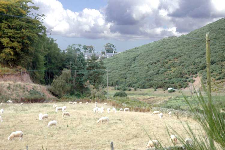
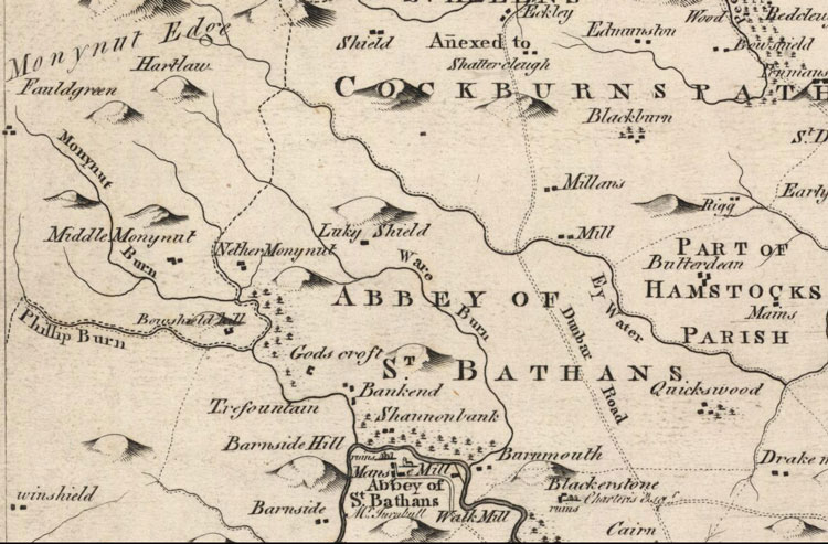
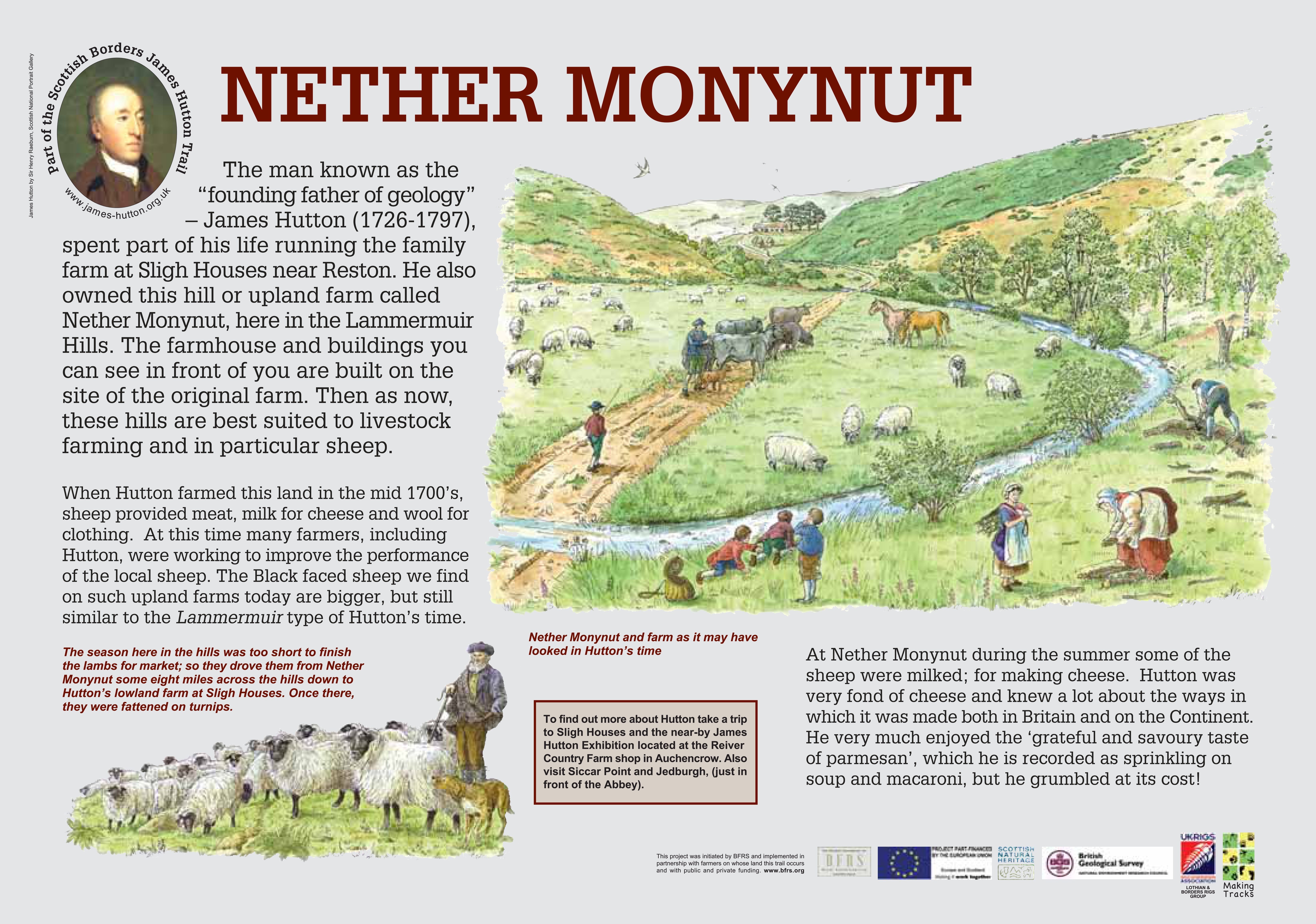
This is James Hutton’s upland farm, located in the secluded Monynut Valley and best accessed from the southern end either via Whiteburn (NT 761642) or the beautiful Abbey St Bathans (NT 755622). Hutton leaves no record of his activities here, but farm here he certainly did. Locals still refer to ‘Hutton’s Dykes’, the characteristic walls he built both here and at Slighhouses. It is highly probable that he will have used Nether Monynut to farm sheep, for which it is still predominantly used today!
|
|
|
|